UAV/Drone Services
UAV/drone imaging services in Geelong, Melbourne, Ballarat, regional Victoria and Colac
Swanson Surveying specialises in the use of UAV/drone imaging along with conventional surveying techniques to capture high resolution 3D data. Our team of qualified and experienced surveyors will tailor a service to meet your specific project requirements and ensure it is fit for purpose, timely and of the highest quality.
What is a UAV (Unmanned Aerial Vehicle) survey?
A UAV is used as a platform for capturing imagery and data from an aerial position. Hundreds of images are collected and stitched together with specalised software to produce high-resolution and high-accuracy 3D data. Typical resolution of our imagery between 1-3cm per pixel (1-3cm GSD – Ground Sample Distance) allows for high precision data and, when combined with ground based control surveys, achieves horizontal and vertical accuracies of approximately 20-50mm (dependent on site conditions).
The resulting data can be supplied in many deliverables including, but not limited to, photographs, orthomoasics (aerial imagery), surface models (DSM, DTM) and point clouds (which are made up of millions of coloured 3D points). It can also be used as a basis for 2D drafting or 3D solid modelling through CAD and GIS formats.
Aerial point cloud data captured from UAVs can also augment ground-based laser scanning and tradition surveying methods.
What are the benefits of a UAV survey?
The benefits include:
- Full 3D data capture
- High resolution and accurate data (GPS accuracy)
- Reduced survey time frames with large areas captured rapidly
- Remote access: Safely survey difficult to reach sites and features
How can I utilise a UAV?
Uses include:
- Earthwork/asset reporting: Stockpiles, cut fill, landfill, design conformance
- Topographical surveys: Elevation analysis, drainage analysis
- Road feature surveys which limit personnel proximity to traffic
- Inspection and line of sight photography
- Progress tracking of civil and infrastructure projects
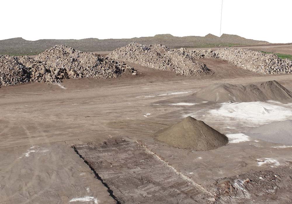
- Stockpile Volume Reporting
- Asset Inspection
- Aerial Photography
- Orthmosaic (Aerial Image)
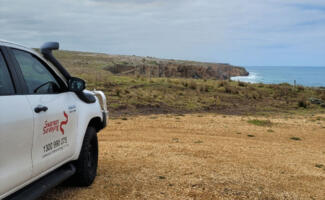
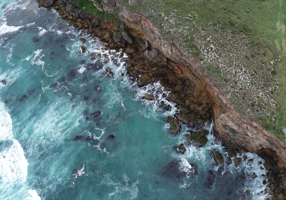
Coastal Cliff Land Survey – Allansford
Swanson Surveying was recently contracted to provide a feature and level survey of a future...
Read more
UAV Survey – Bellarine Railway Rehabilitation, Drysdale to Queenscliff
Another example of the benefits of utilising UAV survey technology for precise aerial mapping is...
Read more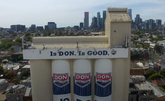
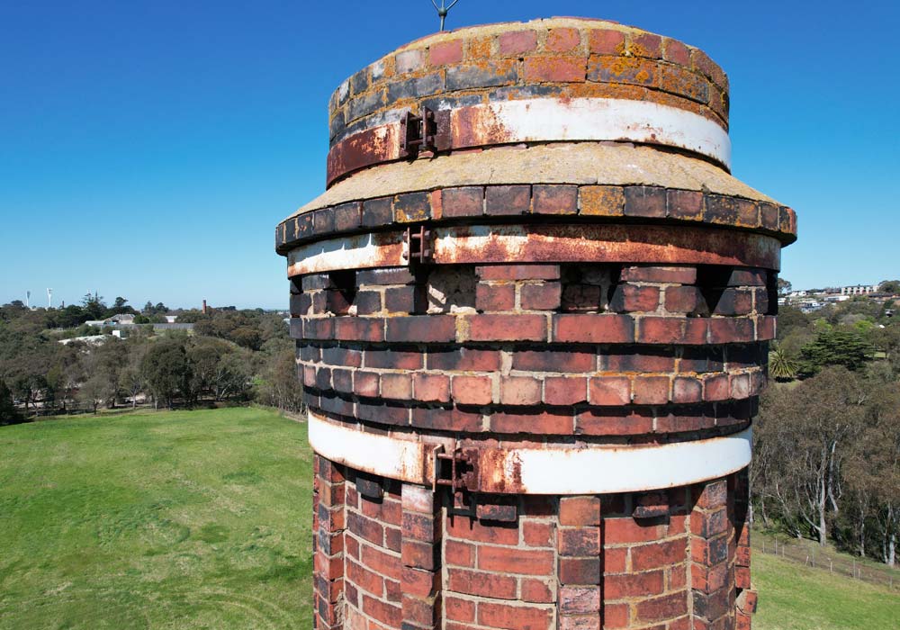
UAV Inspection Survey – Is Don. Is Good Silos, North Melbourne
Swanson Surveying was recently tasked with conducting a UAV inspection survey of the Is Don....
Read more
UAV Aerial Imagery – Geelong Sports Lighting Assets
The City of Greater Geelong Council recently undertook an audit of public lighting assets across...
Read more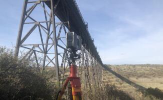
Laser Scanning – Maribyrnong Railway Viaduct, Melbourne
Swanson Surveying was recently contracted to undertake a 3D laser scanning survey of the support pylon...
Read more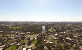
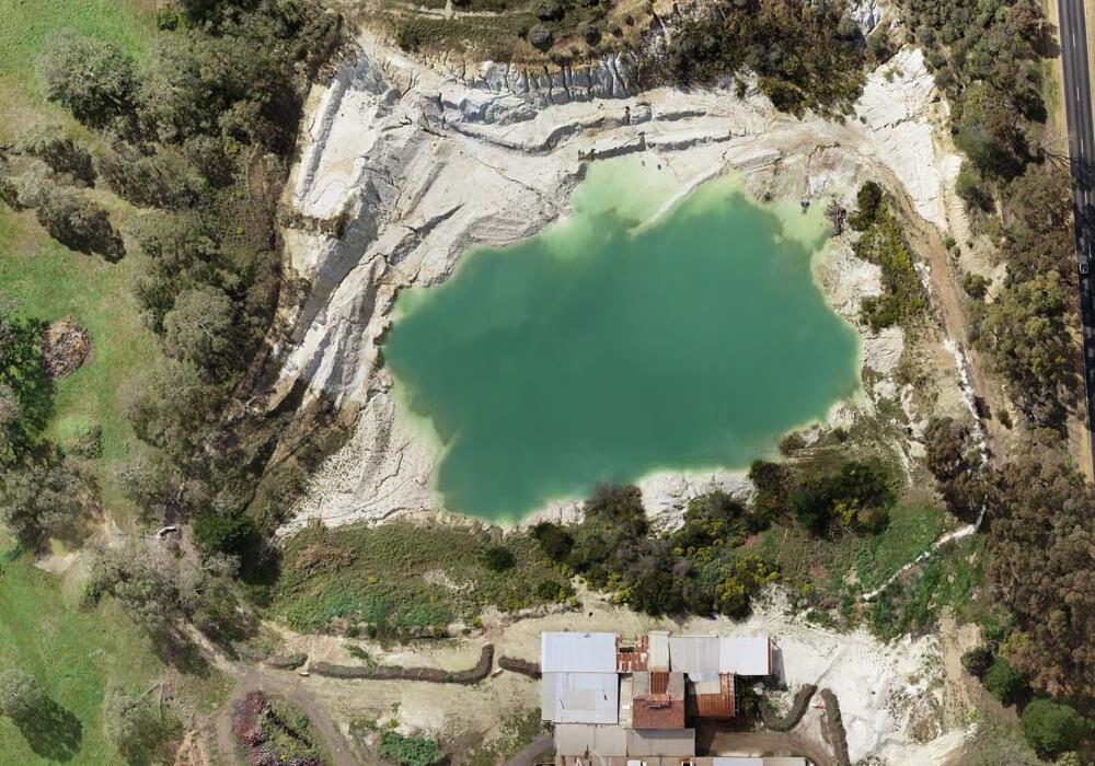
Drone Survey – Highton, Geelong
Engaged recently by a client to undertake a challenging site survey in Highton, Geelong, Swanson...
Read more