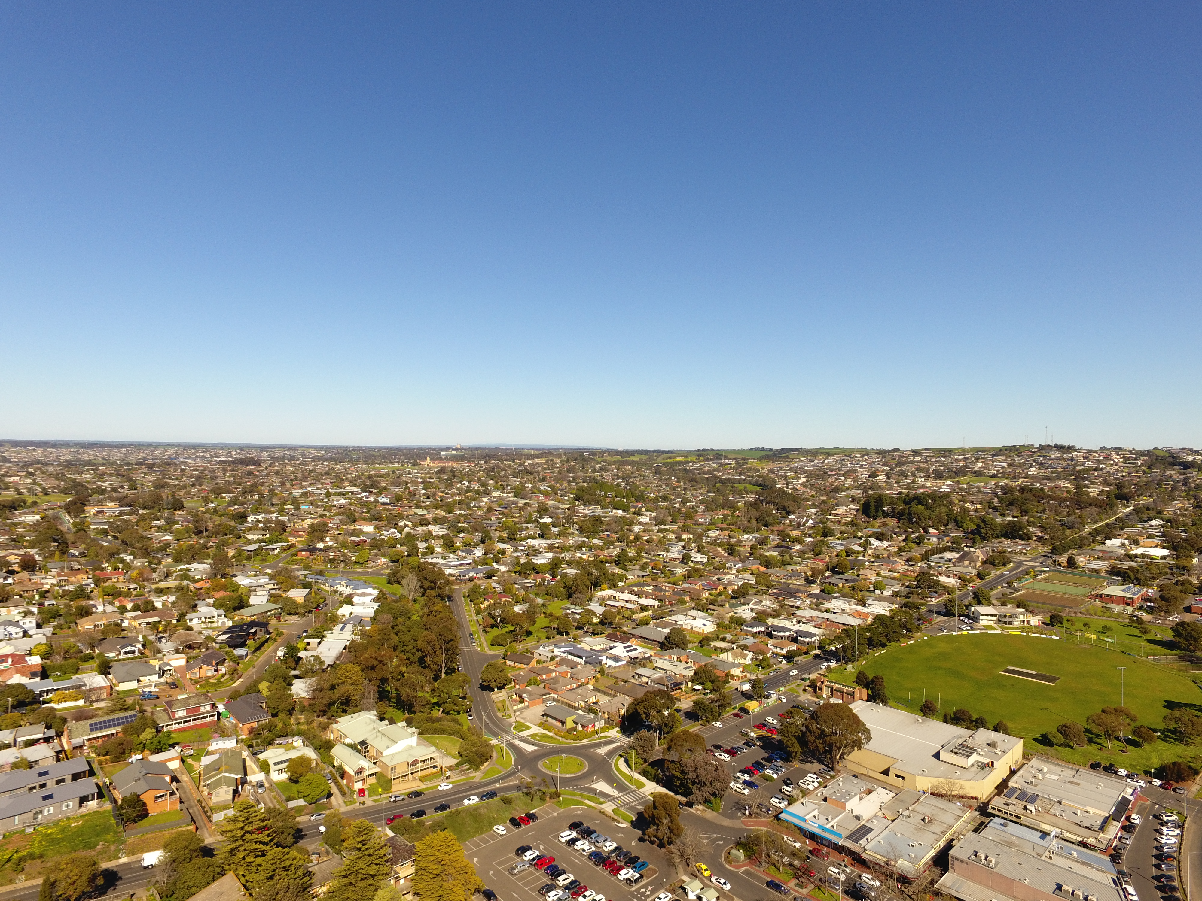
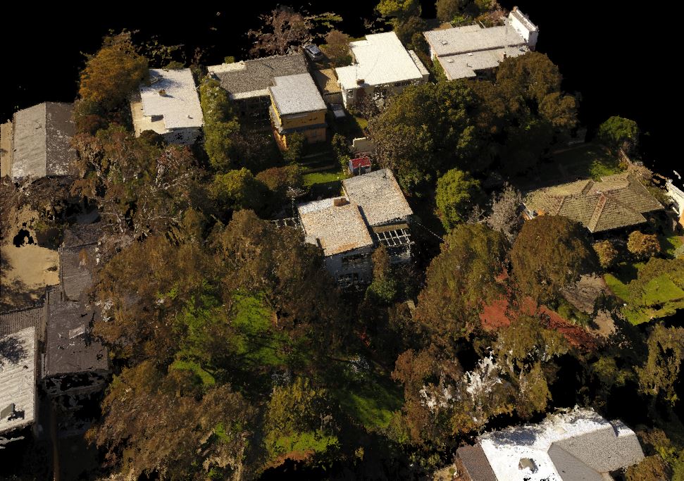
Drone Survey – Highton, Geelong
Engaged recently by a client to undertake a challenging site survey in Highton, Geelong, Swanson Surveying employed the use of a drone, formally known as a UAV or Unmanned Aerial Vehicle, in order to easily and quickly survey an area that proved too difficult for traditional surveying methods. The DJI Phantom 4 UAV was able to efficiently capture large areas of the site for our clients, enabling us to provide them with a clear data set for inclusion in the 3D Modelling of their proposed development. The advantages of using a drone include the ability to obtain high quality, up to date aerial imagery and a 3D data set remotely and without needing to access adjoining properties. The data set can be integrated with a traditional survey plan for use in any CAD Modelling software package.
For more information on the benefits of using UAV surveying for your 3D Modelling project in Geelong, Melbourne or Ballarat please don’t hesitate to get in touch today.

UAV/Drone Services
Laser Scanning & 3D Modelling