Coastal Cliff Land Survey – Allansford
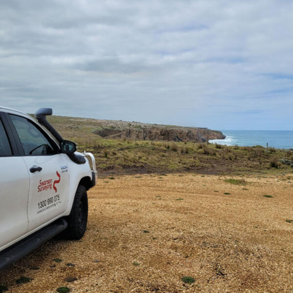
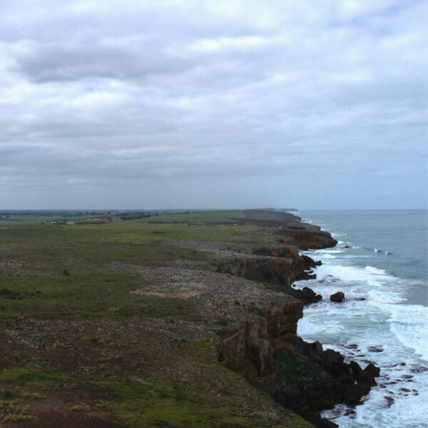
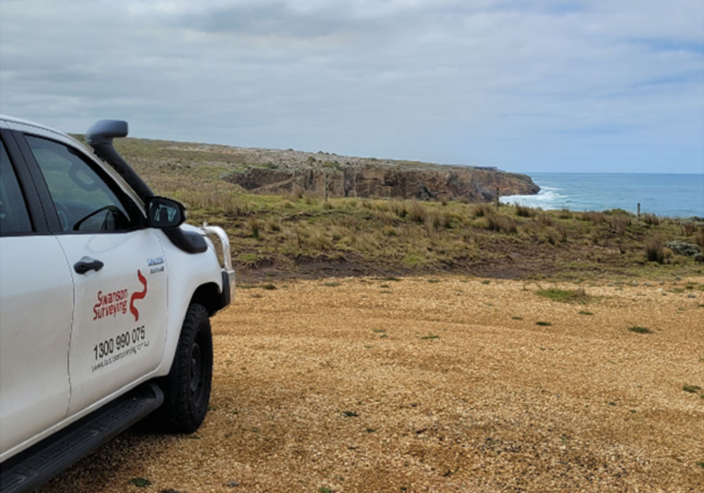
Swanson Surveying was recently contracted to provide a feature and level survey of a future house development site atop of a cliff facing out across Bass Strait. The purpose of the land survey was to assist the client with determining the positioning of the proposed house in order to immerse it within the landscape and maximise the coastal views.
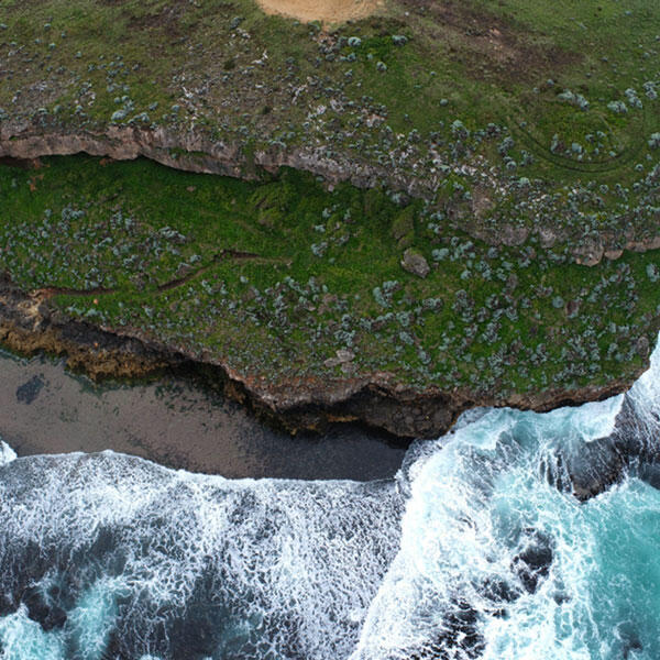
Given the steep, precarious location of the site it was elected to conduct the survey using UAV technology to accurately and safely capture the land and cliff levels and generate a detailed 3D model of the site.
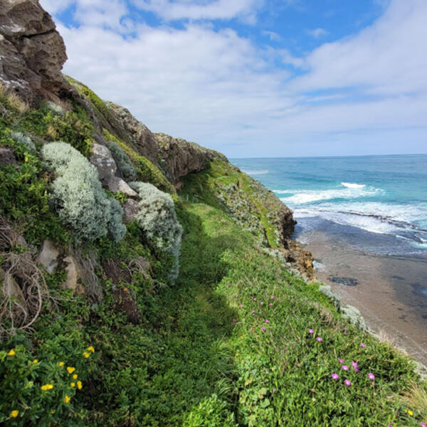
Additionally, the cliff survey assessed the access down to the ocean and the state of the cliff erosion. It was ascertained from the precise spatial data that sections of the cliff had a 7 metre undercut from the edge at the top of the cliff. Equipped with this crucial knowledge, the client was able to confidently determine the most stable position for the house on their land.
Unlock the potential of your property with the precision and safety of UAV technology. Swanson Surveying can provide the detailed insights you need for your next development project. Contact us today to see how we can help you achieve your vision while ensuring stability and maximising views.
UAV/Drone Services
Land Surveying

